Found Washington
The ArchiveThe MapAbout
MapArchive
Nature & Adventure

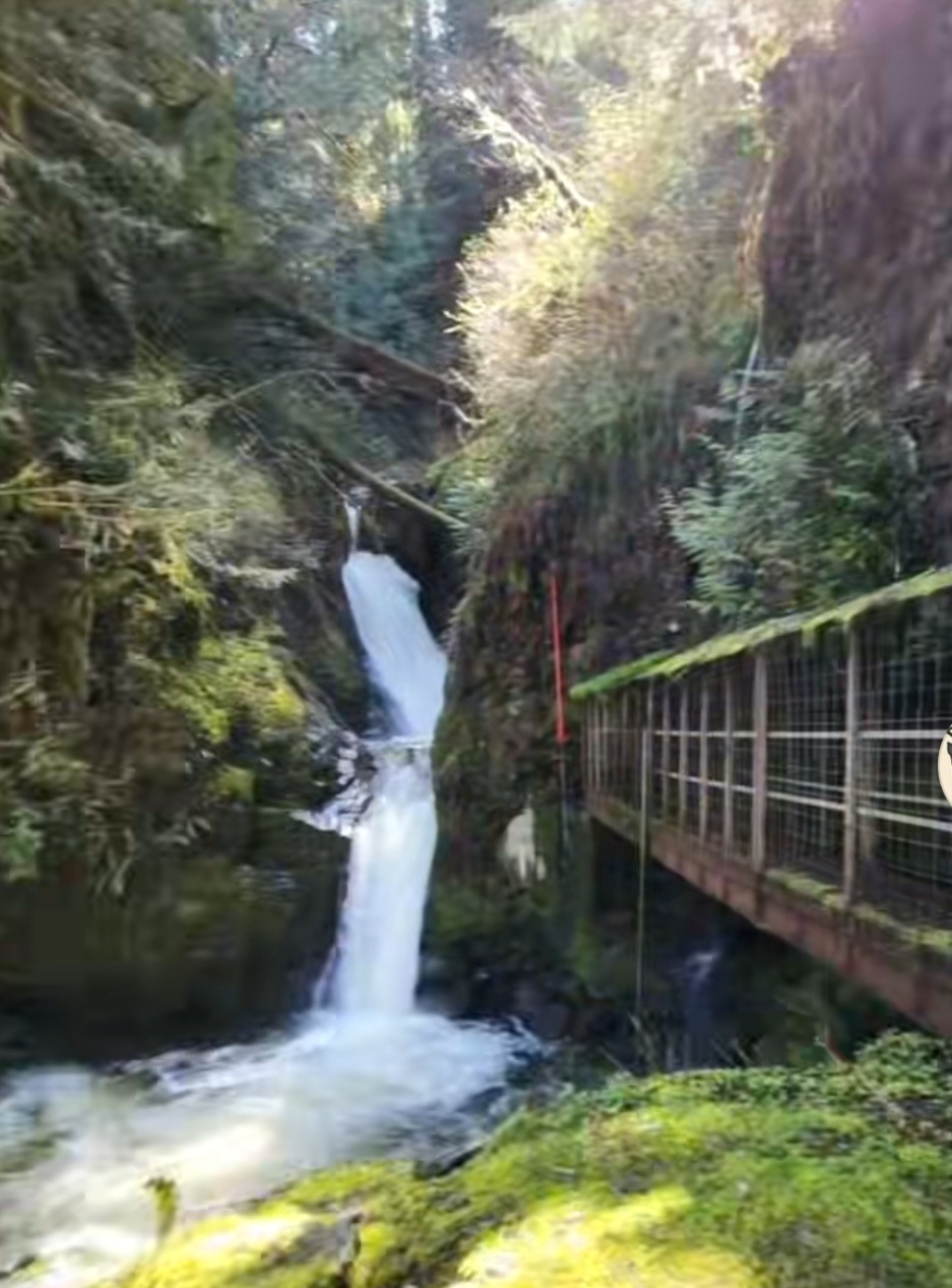
Gilligan Falls

48.4766° N, 122.1470° WOpen in maps ↗
Get directions ↗Report an update
Gilligan Falls
Andrea’s Take

This is moderate hike up to beautiful Gilligan Creek Falls. About 1.7 miles with some elevation, through a clearcut and directly to the falls. Park on a small pullout next to a gate. Walk around the gate and you are on your way.

See it on the mapBack to the archive
Found Washington

An independent archive documenting the curious, the overlooked and the forgotten throughout Washington State.

Follow the field notes ↗

The Categories

  • Art & Wonder
  • Community Creations
  • Film & Pop Culture
  • History and Forgotten Places
  • Local Characters & Places
  • Nature & Adventure
  • Oddities & Roadside Attractions
  • Places of Meaning
  • Spooky and Legends

Explore

  • The Map
  • The Archive
  • About
  • Links & Resources
  • Support the Archive

Take Part

  • Suggest a Place
  • Report an Update
  • Feature Your Business
  • Editor sign in
© 2026 Found WashingtonMade in the Mist
Edit with